Área de identidad
Código de referencia
Título
Fecha(s)
- 1938-07-08 (Criação)
Nivel de descripción
Volumen y soporte
1 page
Área de contexto
Nombre del productor
Institución archivística
Historia archivística
Origen del ingreso o transferencia
Área de contenido y estructura
Alcance y contenido
SUMMARY:
Route description from Miling toward Nayü with directions via Pangya, Majü, and the Tum La, noting a broken bridge over the Majü Chu and multiple campable sites along the valley. Includes details on the Nayü La and Tunga La usage by Lopas, mile-by-mile terrain notes to Dümze and Sakya Kang, and barometric/temperature readings with the date.
CONTENT:
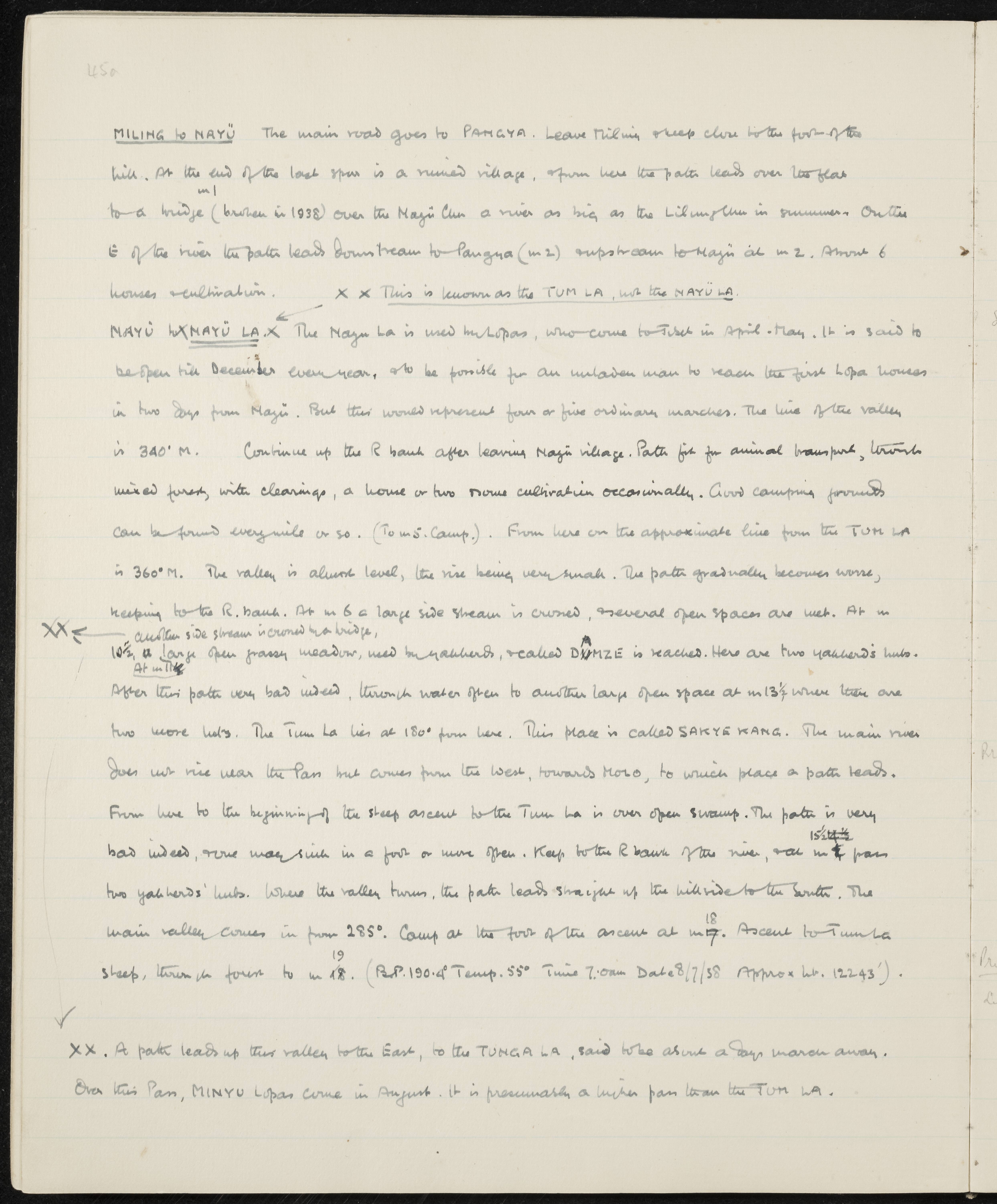
MILING to NAYÜ
The main road goes to PANGYA. Leave Miling creek close to the foot of the hill. At the end of the last spur is a ruined village, from here the path leads over low flats to a bridge (broken in 1938) over the Majü Chu, a river as big as the Lilung Chu in summer. On the east of the river the path leads downstream to Pangya (mile 2) and upstream to Majü at mile 2. About 6 houses and cultivation.
This is known as the TUM LA, not the NAYÜ LA.
NAYÜ LA. The Nayü La is used by Lopas, who come to Tibet in April-May. It is said to be open till December every year, and to be possible for an unladen man to reach the first Lopa houses in two days from Majü. But this would represent four or five ordinary marches. The line of the valley is 340° M.
Continue up the right bank after leaving Majü village. Path fit for animal transport, through mixed forest, with clearings, a house or two and some cultivation occasionally. Good camping grounds can be found every mile or so. (To mile 5. Camp). From here on the approximate line from the TUM LA is 360° M. The valley is almost level, the rise being very small. The path gradually becomes worse, keeping to the right bank. At mile 6 a large side stream is crossed, and several open spaces are met. At mile 10½, another side stream is crossed by a bridge, and a large open grassy meadow, used by yakherds, and called DÜMZE is reached. Here are two yakherd's huts. After this the path is very bad indeed, through water often to another large open space at mile 13¾ where there are two more huts. The Tum La lies at 180° from here. This place is called SAKYA KANG. The main river does not rise near the pass but comes from the west, towards MORO, to which place a path leads. From here to the beginning of the steep ascent to the Tum La is over open swamp. The path is very bad indeed, and one may sink in a foot or more often. Keep to the right bank of the river, and at mile 15½ pass two yakherds' huts. Where the valley turns, the path leads straight up the hillside to the South. The main valley comes in from 285°. Camp at the foot of the ascent at mile 18. Ascent to Tum La steep, through forest to mile 19. (B.P. 190.4° Temp. 55° Time 7:00 am Date 8/7/38 Approx ht. 12243').
A path leads up this valley to the East, to the TUNGA LA, said to be about a day's march away. Over this Pass, MINYU Lopas come in August. It is presumably a higher pass than the TUM LA.