Bhutan

Elements area

Taxonomy

Code

Scope note(s)

    Source note(s)

      Display note(s)

        Hierarchical terms

        Bhutan

        Equivalent terms

        Bhutan

          Associated terms

          Bhutan

            419 Archival description results for Bhutan

            419 results directly related Exclude narrower terms
            LSH/1/1/1/1/159 · Part · 1933-09-24
            Part of The Ludlow & Sherriff Collection

            SUMMARY:
            Notes on catching butterflies, shooting Blood pheasants at Homo, and finding a bright blue delphinium. The Dzongpen of Lhakang was informed of the party’s arrival via Kusho. Detailed route description from camp to Lhakang Dzong, crossing the river and passing through scrub and conifer forest to open shrubland.

            CONTENT:
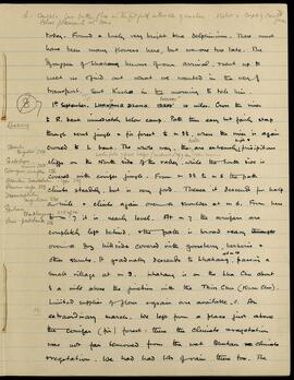
            L. caught a few butterflies in the fitful intervals of sunshine. I shot a couple of Blood pheasants at Homo. 78 male

            today. Found a lovely very bright blue delphinium. There must have been many flowers here, but we are too late. The Dzongpen of Lhakang knows of our arrival, & sent up to meet us & find out what we wanted in the way of transport. Sent Kusho in the morning to tell him.

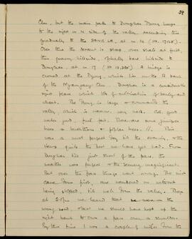
            1st September. To H 10000 LHAKANG DZONG. 12200' 10 miles. Cross the river to R. bank immediately below camp. Path then easy but fairly steep through scrub jungle & fir forest to m 3 1/2, where the river is again crossed to L bank. The whole way, Waterfalls of great height (vertical drop 500') also occur. there are extremely precipitous cliffs on the North side of the valley, while the South side is covered with conifer jungle. From m 3 1/2 to m 5 the path climbs steadily, but is very good. Thence it descends for half a mile & climbs again over a shoulder at m 6. From here to m 7 it is nearly level. At m 7 the conifers are completely left behind, & the path is broad & easy over a dry hillside covered with gooseberry, berberis & other shrubs. It gradually descends to at m 10 Lhakang, passing a small village at m 9. Lhakang

            LSH/1/1/2/1/2 · Part
            Part of The Ludlow & Sherriff Collection

            SUMMARY:
            Overview page listing the 1934 expedition route across Bhutan and Tibet. The itinerary runs from Menoka Tea Estate to Rangiya via numerous villages, rivers, passes, valleys, and dzongs.

            CONTENT:
            BHUTAN and TIBET.
            1934

            Route: Menoka Tea Estate - Diwangiri - Trashigong -
            Gamri Chu - Sakden - Muktur - Tawang - Tsona - Tulung La -
            Nyuri - Lap - Mago area (Luguthang & Chigapnaga) - Tulung
            La - Tsona - Gonpo La - Dongkar Dzong - Cha La - Cho La -
            Me La - Trashiyangsi valley - Chorten Korra - Dib La - Chorten
            Korra - Sana - Trashiyangsi Dzong - Trashigong Dzong - Sakden -
            Trashigong - Pintsogong - Chunkar - Diwangiri - Rangiya.

            LSH/1/1/9/1/45 · Part · 1933-05-07
            Part of The Ludlow & Sherriff Collection

            SUMMARY:
            The diarist, ill with bronchitis, outlines a staged route through multiple settlements, then reaches Mashina and pushes the coolies on to Dunkhar, revising planned departure dates. Many people are sick, including a man of Wangmoo who was injured, and the writer discusses difficulties securing coolies due to local allegiances to H.H., Wangmoo, Ani Choden, and Pema Dechen, before deciding to move on.

            CONTENT:
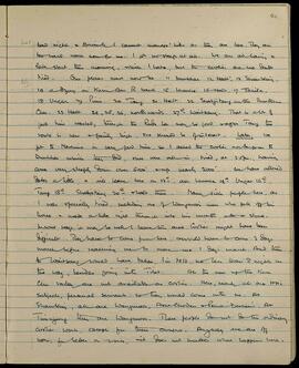
            Bad night & Bronchitis. I cannot manage hills as they are here. They are too hard work now for me. I got no sleep at all. We are all having a late start this morning, which I hate, but the coolies are so damn tired. Our plans must now be: 11 Dunkhar, 12 Halt, 13 Shambling, 14 a camp on Kuru Chu R bank, 15 Lhumbe, 16 Halt, 17 Takila, 18 Ungar, 19 Pimi, 20 Tang, 21 Halt, 22 Shabjetang on the Bumthang Chu, 23 Halt, 24, 25, 26 northwards, 27th Waitsang. That is a lot of good time wasted, though the Rudu La may be good via Tang; the route is new & fairly high, so should be of interest.

            Later. We got to Mashina in very good time, so I asked the coolies to go on to Dunkhar, which they did, but were all in, tired, at 3.0 p.m., having come very steeply down over 5000' & up nearly 2000'. We have altered dates a little, & will leave here on 12th, and Lhumbe 14th, Ungar 16th, Tang 18th, Shabjetang 20th & halt there. Many sick people here, as I was specially tired, including one of Wangmoo's men who fell off his horse & made a hole right through into his mouth with a stone.

            In some ways, it may be well to leave this area. Coolies might have been difficult. They have to come from here, & would have to come 3 days' march before reaching me to move me 1 day's march. And then to Waitsang would have taken, I'm told, no less than 8 nights on the way, besides going into Tibet. All the men up the Kuru Chu valley are not available as coolies. Here, nearly all are H.H.'s subjects, personal servants: so they would come with me. At Shambling, all are Wangmoo's, Ani Choden & Pema Dechen's. At Tungyang they are Wangmoo's. These people do not do the ordinary coolie work, except for their owners. Anyway we are off now, for better or worse; it does not matter what happens here.

            LSH/1/1/2/1/121 · Part · 1933-07-18
            Part of The Ludlow & Sherriff Collection

            SUMMARY:
            The diary describes the path along the north side of the valley to the Sang La, then a steep descent to Dongkar and its Dzong on the right bank of the Nyamjang Chu, noting cultivation, trees, and camp conditions. Weather was perfect until crossing the pass, when mist caused the party to stray onto the wrong road, realizing at 5:00 pm they should have kept to the right bank to cross a shoulder pass.

            CONTENT:
            Chu, but the main path to Dongkar Dzong keeps to the right or N side of the valley, ascending thus gradually to the SANG LA, at m 14 (Ht. 17,125'). Over this the descent is steep, over shale at first, then grassy hillside, finally bare hillside to Dongkar, at m 17 (Ht 13,350'). A bridge is crossed at the Dzong, which lies on the R bank of the Nyamjang Chu. Dongkar is a considerably sized place with lots of cultivation of barley and wheat. The Dzong is large and commands the valley, which is narrow, very well. C.G. good, water good, fuel fair. There are some juniper trees, buckthorn, and poplar trees. This was a most perfect day till the evening, and the views quite the best we have yet had. From Dongkar till just short of the pass, the weather was perfect and the scenery magnificent. But over the pass things went wrong. The mist came down first, one wandered on without being stopped, till well down the valley. Then at 5:00 pm we heard that we were on the wrong road, and that we should have kept up the right bank to cross a pass over a shoulder. By this time I was a couple of miles from the

            LSH/1/1/2/1/147 · Part · 1933-07-18
            Part of The Ludlow & Sherriff Collection

            SUMMARY:
            Route notes describe travel up the valley past summer yakherd huts and a side valley with the glacier called SESUM, crossing the main river and a steep ascent to the Me La (Ht. 14956) before descending through conifers to Shingbe. Mentions an old landslide with a boulder bearing two houses, possible fording difficulties, and bearings to the Yombu Chu–Mena Chu junction and continuation of Yombu Chu.

            CONTENT:
            72

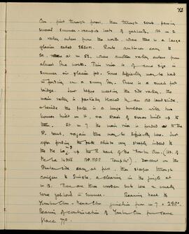
            Chu, first through forest, then through scrub, passing several summer-occupied huts of yakherds. At m 2 a valley enters from the north, where there is a large glacier called SESUM. Route continues easy to SH, at m 5 1/2, where another valley enters from almost due north. This river is of some size in summer as glacier fed. Some difficulty may be had in fording on a sunny day. There is a small foot bridge. Just before meeting the side valley, the main valley is partially blocked by an old landslide, beside the path is a huge boulder with two houses built on it, a stair of stones built up to them. At m 7 the main river is forded to the R. bank, again there may be difficulty here. Just after fording the path climbs very steeply indeed to the Me La, up the R bank of the Yombu Chu. (Ht. of Me La 14956 BP. 185.8 Temp 64°). Descent on the Bhutan side easy at first, then steeper through conifers to Shingbe, a clearing in the jungle at m 12. There are three wooden huts here & usually some yakherds in summer. Bearing back to Yombu Chu - Mena Chu junction from m 7 = 288°. Bearing of continuation of Yombu Chu from same place 77°.

            LSH/1/1/9/1/41 · Part · 1933-05-07
            Part of The Ludlow & Sherriff Collection

            SUMMARY:
            The diarist describes views of Hashina, a possible route up the Kuru Chu to Lhakhang Dz in Tibet (said to be a four-day journey in July–September by tom-tom), and a day's road from Shambling past a pass toward Diukkhar and a Dzong. Snow at the lower limit of Abies is minimal, rice and makai are growing, and the writer met a man who had been with them at Singhi Dzong in 1933.

            CONTENT:
            The difficulty will be to get an open space trunk. Here we can see
            Hashina, which is no higher than this place (6400'). The Serjong La
            even does not get the height of the fir trees, and fancy even Tin
            may only be at the very bottom limit. We must wait and see, as
            no one tells the same thing about these places - perhaps because
            they have never seen. Many have told me all about these places,
            and when I finally ask "have you ever seen them?" they answer "no".
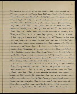
            From here a possible path goes up the Kuru Chu to Lhakhang Dz in
            Tibet, and they told it is 4 hard days journey. In the 5 or 6 months
            (July Aug and I expect Sept) they can go by tom-tom. So there must
            at any rate be a path of some kind up there. All the tales
            of deep snow are much exaggerated. There appears to be little, or
            none at the lower limit of abies. Today's road rises
            easily from Shambling to a pass at m 2, thence nearly level
            till Diukkhar can be seen, then steep down to m 6 and finally
            up to the Dzong. Rice and makai are both growing here now. There
            are several very big houses and quite extensive cultivation. I have
            still to have talks with the locals to find out what I can. —
            I met a man here who was with us in Singhi Dzong in 1933 and

            LSH/1/1/6/1/22 · Part · 1938-03-21
            Part of The Ludlow & Sherriff Collection

            SUMMARY:
            Detailed route description from Rong up the side valley via Ringdi Kenza to Lagyari, noting meadows, a Dzong, a gompa, and cultivation. Continues from Lagyari to Lasor over the Putrang/Potrang La (16,470 ft), with steep descents and hills covered in rhododendron, rose, berberis, willow, and birch, and mentions limited supplies. Notes Gent. Waltoni as common along the Tsangpo between Tsetang, Rong, and Lagyari Dzong.

            CONTENT:
            11a

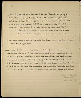
            From Rong path leads up the side valley to the South. Path quite good up the R bank, then (in winter) up the valley bed. At m 4 1/2 the valley splits at Ringdi Kenza and the more easterly one is taken. At m 6 path crosses to L bank, climbs 300 ft, then drops again as a valley turns eastward. Path then up L bank or in valley bed, good the whole way. Grass meadows in the valley bed are met about m 12 and the valley opens out to Lagyari, a straggling, but considerable place, with a large Dzong and a gompa. Quite a lot of cultivation and trees. Independent Dzong.

            Gent. Waltoni common on almost all rocky hillsides down Tsangpo. Noticed between Tsetang and Rong, and between Rong and Lagyari Dzong.

            Lagyari - Lasor. 16 miles. Path follows up R bank of the main river, sometimes climbing pretty high on the R bank, where it follows mostly a water channel cut in side of side valley. A good deal of cultivation is passed and some small villages. After dropping to the main valley, up which it goes for 1/2 mile, it climbs steeply to the last village and thence 2 1/2 more miles to the Potrang La, 16,470, at m 11. Descent on E side much steeper and more direct. The hills on the E side are well covered with rhododendron, rose, berberis, willow, birch and other scrub. Before reaching Lasor the descent eases off. Some cultivation and a few stores such as eggs available.

            Putrang or Potrang La
            R. vellereum 3557
            etc.
            Sherriff 11072

            LSH/1/1/4/1/34 · Part · 1936-07-02
            Part of The Ludlow & Sherriff Collection

            SUMMARY:
            Notes bird sightings near a high pass and outlines a dated itinerary from Kense to Langong, Pa La, Paba, and Kyimdong Dzong. Summarizes a route from Pachakshiri via Langong and the Pa La along the Tsangpo valley to Nang Dzong, then up the Sipha Chu to Tso Bunang below the Sur La in the Tsari Valley, with a Tit-warbler noted and a return to Sanga, citing diary pages and Ibis references.

            CONTENT:
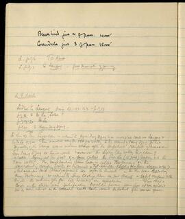
            Blackbird just N of pass. 14,000'
            Grandala just S of pass 15,000'

            L. July 16 - To Kense.
            L. July 17 To Langong - Good description of journey

            L. H. Route

            Ludlow to Langong diary 151-152-153 - July 17.
            July 18. to Pa La, Loba
            July 19-20 Paba.
            July 21. to Kyimdong Dzong.

            L. Ibis 47. From Pachakshiri we returned to Kyimdong Dzong by an unexplored route via Langong & the Pa La 15,500. Then marched along the Tsangpo valley to the vicinity of Nang Dzong. The hot dry valley of the Tsangpo was a welcome change after the perpetual rainfall of Pachakshiri. From Nang Dzong we turned south & ascended the Sipha Chu valley to a chain of lakes lying at the foot of a pass called the Sur La (15,700 ft) leading into the Tsari Valley. The neighborhood of these lakes is called Tso Bunang. In the surrounding conifer woods we discovered a Tit-warbler (Lophobasileus elegans subsp.), a Palaearctic point I had expected to see so far to the south. - In Ibis 204 - Aug 20 diary. From Tso Bunang we returned to Sanga

            Route itinerary, 1936
            LSH/1/1/3/3/6 · Part
            Part of The Ludlow & Sherriff Collection

            SUMMARY:
            A list of route stages for a 1936 journey, outlining a sequence from Diwangiri through Trashigong, Gamri Chu, Sakten, Tsona, Chayul Dzong, Sanga Chöling, Migyitun, and ending around Takpa Shiri. The page records place-to-place progression without daily dates or personal names.

            CONTENT:
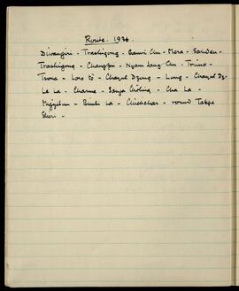
            Route. 1936.

            Diwangiri - Trashigong - Gamri Chu - Mera - Sakten -
            Trashigong - Changpu - Nyam Jang Chu - Trimo -
            Tsona - Loro tö - Chayul Dzong - Lung - Chayul Dz.
            Le La - Charme - Sanga Chöling - Cha La -
            Migyitun - Bimbi La - Chuchchar - round Takpa
            Shiri -

            LSH/1/1/2/1/119 · Part · 1933-07-18
            Part of The Ludlow & Sherriff Collection

            SUMMARY:
            The page details a route starting from Tsona Dzong across a plain to Nyaba La (approx. 15,250 ft), then past lakes to Gorpo La (17,779 ft), with notes on terrain, glaciers, and an easy western descent toward the Nyam Jang valley. Margin notes headed 'Gorpo La Aug. 15' list plants observed or collected, including Saxifraga, Scabiosa, Geranium, Caragana, Meconopsis, and Corydalis.

            CONTENT:
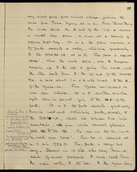
            58

            very small pass, past ruined village, joining the route from Tsona Dzong at mile 4. From Tsona Dzong the route skirts the East end of the hill and crosses a broad open plain, and runs at a bearing of approximately 325° Magnetic. At mile 4 the plain narrows, and the path ascends a valley, climbing gradually to the Nyaba La at mile 6. This pass is approximately 15,250 feet, where the route splits, one to Dongkar keeping up to the left and going due north, while the other leads down to the West end of the Nyaba Tso, a lake about 1 mile x 1/2 mile broad to the East of the Nyaba La. From Nyaba La proceed North over open hillside. At mile 8 another similar sized lake is passed, lying to the East of the path. At mile 9 the path ascends, gradually turning westward and climbing pretty steeply to the Gorpo La, which lies between two high mountains, from which several glaciers fall to the Southeast. The one on the North must be well over 20,000 feet. The La is reached at mile 11 and is 17,779 feet. The path is rocky but easy. Descent on West side also easy, down a series of small plateaus. A route leads down the main valley to the West to the Nyam Jang.

            [Margin Notes:]
            Gorpo La Aug. 15
            Saxifraga punctulata 820
            " mutans 822
            " lychnitis 874
            Scabiosa hookeri 821
            Geranium humile 833
            Caragana jubata 825
            Meconopsis horridula 826
            pale lavender Corydalis (previously) 799 no label 17,500 ft
            pale yellow anemone