Identity area
Reference code
Title
Date(s)
- 1983-05-05 (Creation)
Level of description
Extent and medium
1 page
Context area
Name of creator
Repository
Archival history
Immediate source of acquisition or transfer
Content and structure area
Scope and content
SUMMARY:
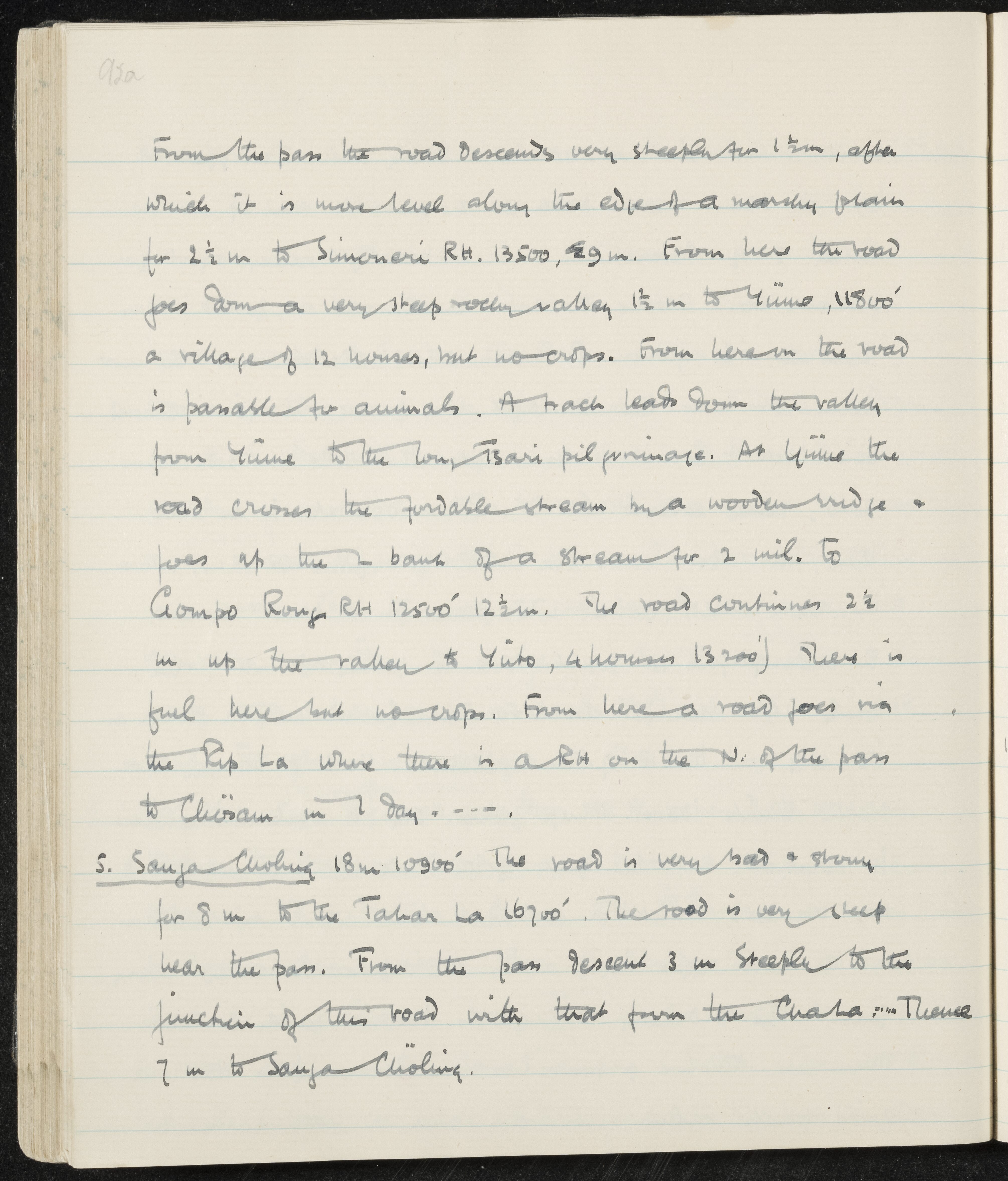
The page details a steep descent from a pass to Simoneri RH, then down to Yümo and up the valley past a bridge to Gompo Rong RH and Yüto, noting fuel availability, lack of crops, and a road via the Pip La to Chiksam. A separate stage describes a very stony road to the Takar La, a steep descent to the junction with the Char La road, and onward to Sangachöling, with distances and elevations.
CONTENT:
From the pass the road descends very steeply for 1 1/2 m, after which it is more level along the edge of a marshy plain for 2 1/2 m to Simoneri RH. 13500, 29 m. From here the road goes down a very steep rocky valley 1 1/2 m to Yümo, 11800' a village of 12 houses, but no crops. From here on the road is passable for animals. A track leads down the valley from Yümo to the Tsari pilgrimage. At Yümo the road crosses the fordable stream by a wooden bridge, goes up the L bank of a stream for 2 mil. to Gompo Rong RH 12500' 12 1/2 m. The road continues 2 1/2 m up the valley to Yüto, (4 houses 13200') There is fuel here but no crops. From here a road goes via the Pip La where there is a RH on the N. of the pass to Chiksam in 1 day. ---
- Sangachöling 18 m 10900' The road is very bad & stony for 8 m to the Takar La 16700'. The road is very steep near the pass. From the pass descend 3 m steeply to the junction of this road with that from the Char La. --- Thence 7 m to Sangachöling.