Identity area
Reference code
Title
Date(s)
- 1933-10-19 (Creation)
Level of description
Extent and medium
1 page
Context area
Name of creator
Repository
Archival history
Immediate source of acquisition or transfer
Content and structure area
Scope and content
SUMMARY:
Route notes describe travel from Shio via Karta to Cha, with strong valley winds, riverbank paths, and a crossing to Cha. On 6th November the party proceeds up the eastern valley toward Pen La, encountering snow on the north face and observing herds of bharal.
CONTENT:
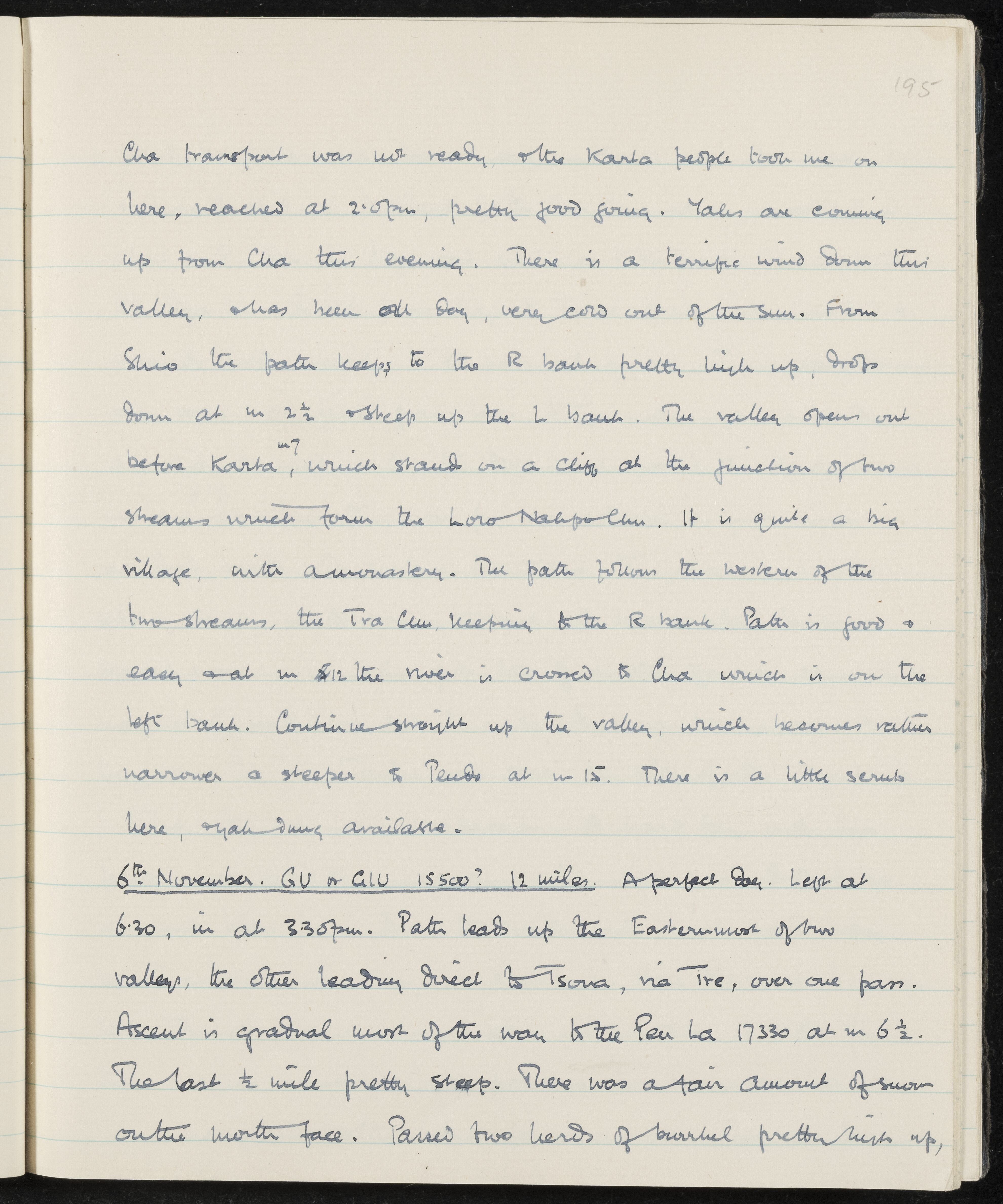
Cha transport was not ready, and the Karta people took me on here, reached at 2:05 pm, pretty good going. Yaks are coming up from Cha this evening. There is a terrific wind down this valley, and has been all day, very cold out of the sun. From Shio the path keeps to the R bank pretty high up, drops down at m 2 1/2 and steep up the L bank. The valley opens out before Karta, which stands on a cliff at the junction of two streams which form the Loro Nakpo Chu. It is quite a big village, with a monastery. The path follows the western of the two streams, the Tra Chu, keeping to the R bank. Path is good and easy and at m 12 the river is crossed to Cha which is on the left bank. Continue straight up the valley, which becomes rather narrower and steeper and tends at m 15. There is a little scrub here, yak dung available.
6th November. GU or GIU 15500? 12 miles. A perfect day. Left at 6:30, in at 3:30 pm. Path leads up the Easternmost of two valleys, the other leading direct to Tsona, via Tre, over one pass. Ascent is gradual most of the way to the Pen La 17330 at m 6 1/2. The last 1/2 mile pretty steep. There was a fair amount of snow on the north face. Passed two herds of bharal pretty high up,