Zone d'identification
Cote
Titre
Date(s)
- 1952-05-17 (Production)
Niveau de description
Étendue matérielle et support
1 page
Zone du contexte
Nom du producteur
Histoire archivistique
Source immédiate d'acquisition ou de transfert
Zone du contenu et de la structure
Portée et contenu
SUMMARY:
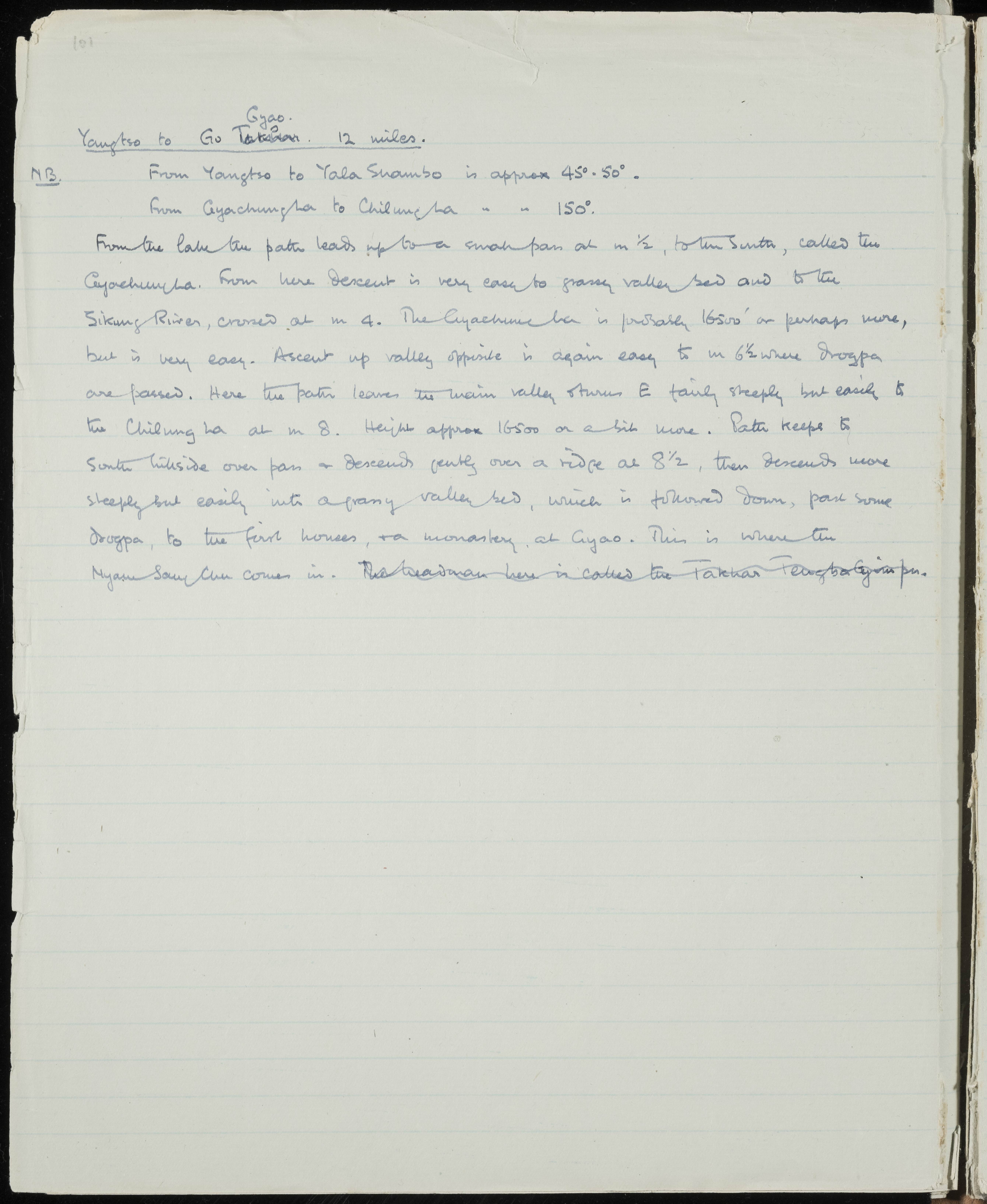
Notes a 12‑mile route from Yangtso to Gyao with bearings to Yala Shambo and from Cyachungha to Chilungha. Describes ascent to the Cyachungha pass (~16,500'), descent to the Sikung River, climb to Chilung La (~16,500'), passing drogpa encampments, and arrival at Gyao with a monastery where the Nyam Sang Chu joins.
CONTENT:
Yangtso to Gyao. 12 miles.
N.B. From Yangtso to Yala Shambo is approx 45° - 50°.
From Cyachungha to Chilungha is approx 150°.
From the lake the path leads up to a small pass at m 1/2, to the South, called the Cyachungha. From here descent is very easy to grassy valley bed and to the Sikung River, crossed at m 4. The Cyachungha is probably 16500' or perhaps more, but is very easy. Ascent up valley opposite is again easy to m 6 1/2 where drogpa are passed. Here the path leaves the main valley and turns E fairly steeply but easily to the Chilung La at m 8. Height approx 16500 or a bit more. Path keeps to South hillside over pass and descends gently over a ridge at 8 1/2, then descends more steeply but easily into a grassy valley bed, which is followed down, past some drogpa, to the first houses, and a monastery, at Gyao. This is where the Nyam Sang Chu comes in.