
Part 100 - Measurements between Chendebi and Trashi La

Identity area

Reference code

GB 235 LSH/1/1/5/1/100

Title

Measurements between Chendebi and Trashi La

Date(s)

  • 1928-06-02 (Creation)

Level of description

Part

Extent and medium

1 page

Context area

Name of creator

(1898-1967)

Archival history

Immediate source of acquisition or transfer

Content and structure area

Scope and content

SUMMARY:
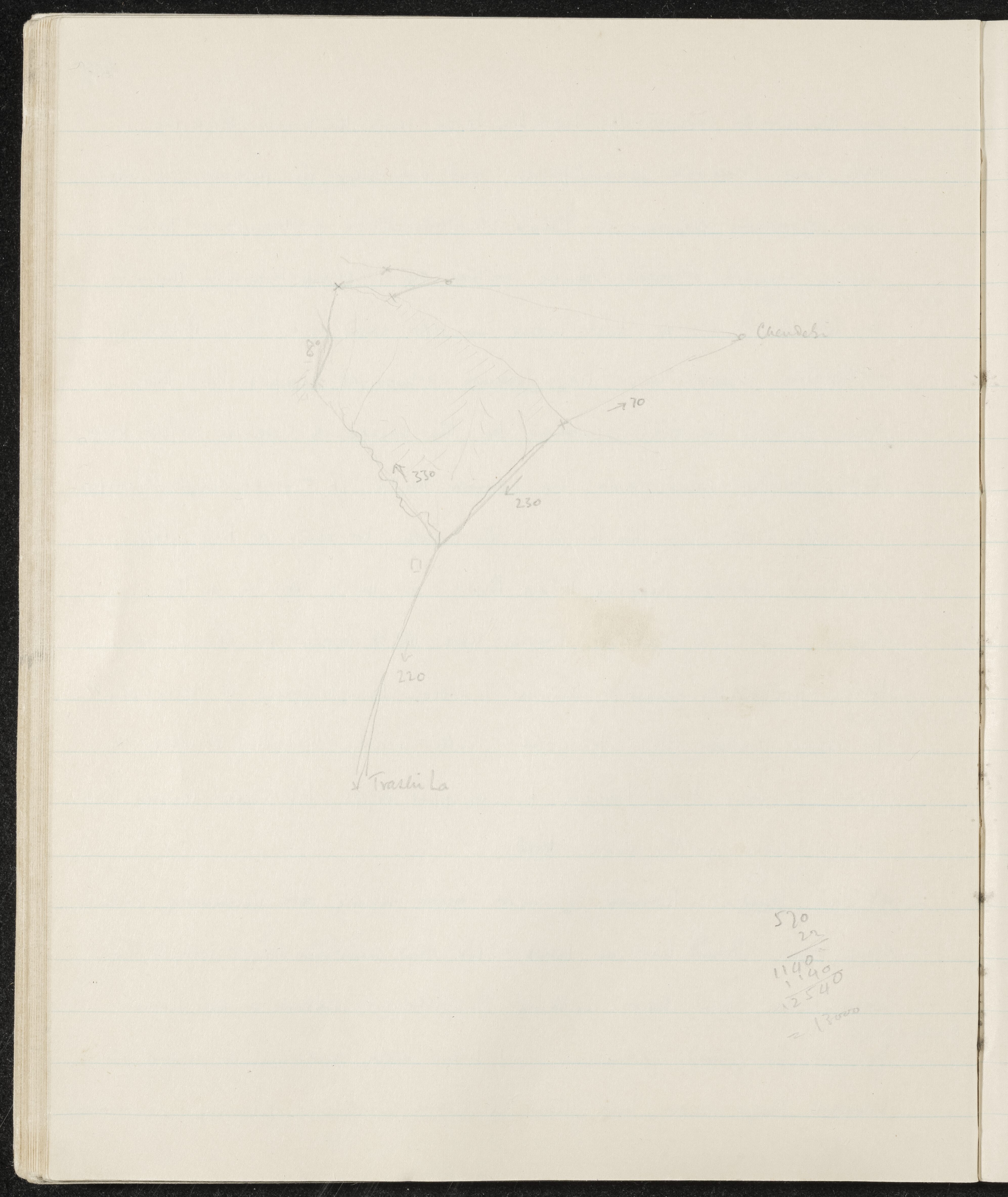
The page lists the place names Chendebi and Trashi La alongside several numerical measurements and a final calculation equaling 13000. These appear to be notes of elevations or route-related figures.

CONTENT:
Chendebi

330
70
230
220
Trashi La

570
22
1140
1140
12540
= 13000
Appraisal, destruction and scheduling

Accruals

System of arrangement

Conditions of access and use area

Conditions governing access

Conditions governing reproduction

Language of material

    Script of material

      Language and script notes

      Physical characteristics and technical requirements

      Finding aids

      Allied materials area

      Existence and location of originals

      Existence and location of copies

      Related units of description

      Related descriptions

      Notes area

      Alternative identifier(s)

      Access points

      Subject access points

      Place access points

      Name access points

      Genre access points

      Description control area

      Description identifier

      Institution identifier

      Rules and/or conventions used

      Status

      Level of detail

      Dates of creation revision deletion

      Language(s)

        Script(s)

          Sources

          Digital object (External URI) rights area

          Digital object (Reference) rights area

          Digital object (Thumbnail) rights area

          Accession area