Identity area
Reference code
Title
Date(s)
- 1933-10-09 (Creation)
Level of description
Extent and medium
1 page
Context area
Name of creator
Repository
Archival history
Immediate source of acquisition or transfer
Content and structure area
Scope and content
SUMMARY:
The page records inquiries about the frontier with Tibet, noting Dis (Thib) La as the boundary and classifying Chang Pu and Manam as Bhutanese, Beting on the frontier, and Sanglung as Tibetan. It describes a hot day’s march from Trashiyangsi to Tsirgom via Chunkara monastery, descending to a cantilever bridge near the junction of the Tawang and Tyangsi Chus and then following the Trashiyangsi River.
CONTENT:
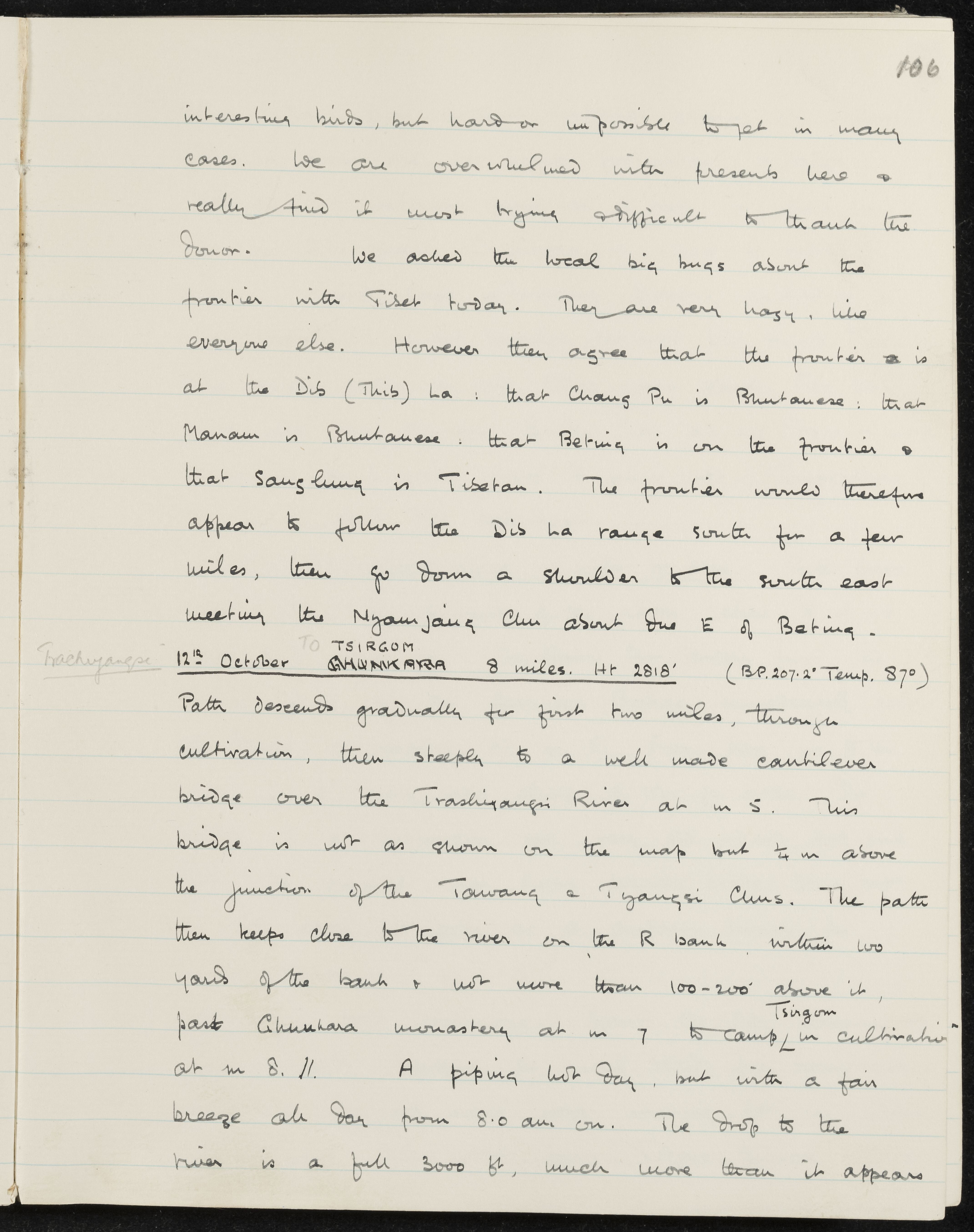
interesting birds, but hard or impossible to get in many cases. We are overwhelmed with presents here and really find it most trying and difficult to thank the donor. We asked the local big bugs about the frontier with Tibet today. They are very hazy, like everyone else. However they agree that the frontier is at the Dis (Thib) La: that Chang Pu is Bhutanese: that Manam is Bhutanese: that Beting is on the frontier and that Sanglung is Tibetan. The frontier would therefore appear to follow the Dis La range south for a few miles, then go down a shoulder to the south east meeting the Nyamjang Chu about due E of Beting.
Trashiyangsi 12th October TO TSIRGOM CHUNKARA 8 miles. Ht 2818' (BP. 207.2' Temp. 87°)
Path descends gradually for first two miles, through cultivation, then steeply to a well made cantilever bridge over the Trashiyangsi River at m 5. This bridge is not as shown on the map but 1/4 m above the junction of the Tawang and Tyangsi Chus. The path then keeps close to the river on the right bank within 100 yards of the bank and not more than 100-200' above it, past Chunkara monastery at m 7 to camp Tsirgom in cultivation at m 8.11. A piping hot day, but with a fair breeze all day from 8.0 am on. The drop to the river is a full 3000 ft, much more than it appears.