SUMMARY:
Route notes describe the march from camp to Lola Pass and a very steep descent, followed by a difficult traverse to a camp on the Chudi Chu with multiple stream crossings. Botanical collections 3634–3643 are listed, including several rhododendrons and primulas with habitat and diagnostic notes.
CONTENT:
20a
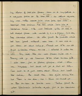
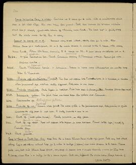
Camp to Lola Pass. 2 miles. Continue up R bank for a mile, with a considerable climb over a fir clad ridge, then over boggy open ground. Path then crosses the stream & climbs about 300 ft steeply, gradually easing off & turning more South. The last 300' is fairly steep but the whole route to the Pass is easy.
Descent to camp at m 4. Descent very steep indeed, fairly open for 1/2 mile, then through dense fir & rhodo forest. At m 3 the main stream is crossed to the R bank, & the valley turns South. Follow this down, crossing to L bank at 3 1/2. A poor camp available at m 4.
-
R. exasperatum. A fine Barbatum Ser. Rhod. Common among R. Thomsonii & Abies. Beautiful rich crimson corolla.
-
Rhod. lopangense Thomsonii Series. Very common. Seems to have more indumentum on under leaf than R. Thomsonii.
-
Primula aff. atrodentata. (P. crispa?) This does not appear to be P. atrodentata. It is smaller, a smaller less pronounced eye, colour rather different. Only seen in one place.
-
Primula vernicosa. Only differs in habitat. First time seen in dense jungle. Smaller flower than usual.
-
Diapensia yellow. The first time we have seen this yellow one. Common.
-
Asteropyrum peltatum. Ranunculus sp.
-
Primula geraldinae sp. nov. Common where found. The mark of this is the farinaceous eye. Only growing on quite inaccessible cliff faces in wet moss. A pretty primula & new to us.
-
Rhod. sulphureum sp. (small yellow shrub). Fairly common, on cliff faces.
-
Rhod. forrestii var repens sp. aff repens. Does not appear to be repens, or even serpens. Found to the left (North) of Primula geraldinae 3640.
-
Rhod. hodgsonii grande.
Camp to Camp on Chudi Chu. 6m. Keep down the L bank through dense rhodo & fir forest. Path very bad indeed, along logs & up & down notched logs, for 2 miles to bridge (1 plank) over main stream to R. bank. Thence path very bad still through dense forest, very steep in places to a very small clearing - room for three tents to camp, where there is a bridge to the L bank again. Path very difficult the whole way. Rough bearing of march 340° M.