Showing 6828 results

Archival description
2091 results with digital objects Show results with digital objects
LSH/1/1/9/1/31 · Part · 1949-05-06
Part of The Ludlow & Sherriff Collection

SUMMARY:
The diarist describes traversing Rip La down to a river and up to Khoma Kang, noting abundant rhododendrons including R. edgeworthii and a Maddenii-type on cliff faces. They compare the Sissi La and Pau La routes, plan to send Pasang to Sulu, complain of midges, recall standing in cookhouse smoke with Ludlow, and suggest Betty move from T'yangsi to Tobrang for better altitude.

CONTENT:
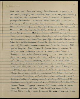
have yet seen. There are many Rhod. Edgeworthii in flower on the far bank, hanging over impossible cliffs, and a very great number of at least one other Rhododendron which is certainly a Maddenii - perhaps Dalhousiae. I cannot reach either yet. The road is not easy. First over the Rip La at m 1, then very steeply down a grass slope at the edge of the forest, to the river at about m 4.5. Then up fairly easily to the first village of Khoma Kang at m 7.5. Thence rather steeper up here. The river is almost a fall when first met, and boils over in a gorge and a steep drop just there. Hence the Rip La. The Sissi La, although easier than the Pau La, may be a worse pass in the end, because one has to go to Khoma, then up to Pangkar, then down to Khoma Kang: whereas the Pau La route, although higher and worse, comes down to Sawang, just beside Khoma Kang. I hope we will have a busy and good time here, and just hope for a few fine days. There is certainly a lot to be had, either in flower, or just about to flower. I now wish I had arranged to go on to Sulu, but will send Pasang on with a man for a night. It will be good for him too. Midges have now started, and were pretty bad today and last night. I remember them being so bad that when waiting for camp to pack up, Ludlow and I always used to stand in the smoke of the cookhouse fire, to get some relief. I think now that Betty should leave T'yangsi and go on to Tobrang which is much more the correct altitude. This is the first place I've been in where things really seem to be on the move. There are in fact
LSH/1/1/1/1/159 · Part · 1933-09-24
Part of The Ludlow & Sherriff Collection

SUMMARY:
Notes on catching butterflies, shooting Blood pheasants at Homo, and finding a bright blue delphinium. The Dzongpen of Lhakang was informed of the party’s arrival via Kusho. Detailed route description from camp to Lhakang Dzong, crossing the river and passing through scrub and conifer forest to open shrubland.

CONTENT:
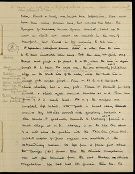
L. caught a few butterflies in the fitful intervals of sunshine. I shot a couple of Blood pheasants at Homo. 78 male

today. Found a lovely very bright blue delphinium. There must have been many flowers here, but we are too late. The Dzongpen of Lhakang knows of our arrival, & sent up to meet us & find out what we wanted in the way of transport. Sent Kusho in the morning to tell him.

1st September. To H 10000 LHAKANG DZONG. 12200' 10 miles. Cross the river to R. bank immediately below camp. Path then easy but fairly steep through scrub jungle & fir forest to m 3 1/2, where the river is again crossed to L bank. The whole way, Waterfalls of great height (vertical drop 500') also occur. there are extremely precipitous cliffs on the North side of the valley, while the South side is covered with conifer jungle. From m 3 1/2 to m 5 the path climbs steadily, but is very good. Thence it descends for half a mile & climbs again over a shoulder at m 6. From here to m 7 it is nearly level. At m 7 the conifers are completely left behind, & the path is broad & easy over a dry hillside covered with gooseberry, berberis & other shrubs. It gradually descends to at m 10 Lhakang, passing a small village at m 9. Lhakang

LSH/1/1/3/3/43 · Part · 1934-03-10
Part of The Ludlow & Sherriff Collection

SUMMARY:
Travel from a pass down to an open plain and up the Mera Chu to the village of Mera is described, noting Sukun La nearby and forested scenery in Bhutan. At a camp 4 miles below Mera, an overnight gale blew off several hut roofs built by locals, and few flowers were seen apart from a blue primula.

CONTENT:
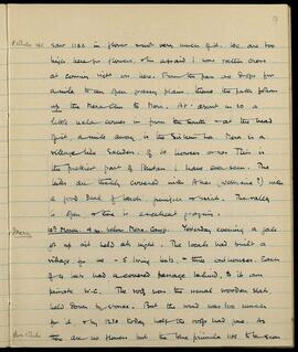
P. White 1166 saw 1156 in flower and very much of it. We are too high here for flowers, am afraid I was rather cross at coming right on here. From the pass one drops for a mile to an open grassy plain, thence the path follows up the Mera Chu to Mera. At about m 10 a little nala comes in from the South and at the head of it, a mile away, is the Sukun La. Mera is a village like Sakden, of 60 houses or so. This is the prettiest part of Bhutan I have ever seen. The hills are thickly covered with Abies (webbiana?) with a good deal of larch, juniper & birch. The valley is open, & there is excellent grazing.

Mera 10th March. 4 m. below Mera. Camp. Yesterday evening a gale got up and held all night. The locals had built a village for me - 5 living huts, & three outhouses. Each of 4 huts had a covered passage behind, to its own private W.C. The roof was the usual wooden slab, held down by stones. But the wind was too much for it, & by 12.30 today half the roofs had gone. As there are no flowers but the blue primula 1156 to be seen

Prim White

LSH/1/1/1/1/169 · Part · 1933-09-05
Part of The Ludlow & Sherriff Collection

SUMMARY:
Describes the route from a pass down to a bridge and onward via Lala to Towa Dzong, with camping near the river. Notes long delays when changing transport at villages, including a 13-hour day and a 1¾-hour wait at Lala, with locals, coolies (mostly women), and various pack animals involved.

CONTENT:
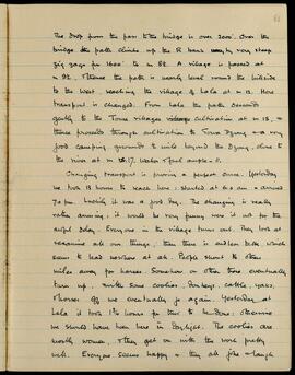
The drop from the pass to the bridge is over 2000'. Over the bridge the path climbs up the R bank by very steep zig zags for 1600' to m 8½. A village is passed at m 9½, thence the path is nearly level round the hillside to the west, reaching the village of Lala at m 12. Here transport is changed. From Lala the path descends gently to the Towa villages cultivation at m 15, and thence proceeds through cultivation to Towa Dzong and a very good camping ground ½ mile beyond the Dzong, close to the river at m 17. Water and fuel ample - 11.

Changing transport is proving a perfect curse. Yesterday we took 13 hours to reach here: started at 6:00 am and arrived 7:00 pm. Luckily it was a good day. The changing is really rather amusing: it would be very funny were it not for the awful delay. Everyone in the village turns out. They look at and examine all our things; then there is endless talk, which seems to lead nowhere at all. People shout to others miles away for horses. Somehow or other there eventually turn up, with some coolies, donkeys, cattle, yaks, and horses off we eventually go again. Yesterday at Lala it took 1¾ hours for this to be done: otherwise we should have been here in daylight. The coolies are mostly women, and they get on with the work pretty well. Everyone seems happy and they all joke and laugh

LSH/1/1/3/3/109 · Part · 1933-04-09
Part of The Ludlow & Sherriff Collection

SUMMARY:
Describes a riverside march with bridges and a near-vertical ladder en route to Trum, comparing the terrain to Baltistan and noting local trees and flowering plants. Records a subsequent march to Natrampa with fine conditions, noted as interesting for Ludlow and the writer.

CONTENT:
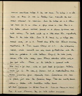
narrow cantilever bridge to the left bank. The bridge is a little higher up than it was in Bailey's time, and avoids the 400' ascent and descent he mentions. Cross the bridge at mile 4 and down left bank for 1/2 mile where a gorge comes in. Here there is a 30 ft ladder, almost vertical, perched on a column of stones, well built and strong. The path winds up a little above this, and gradually down to the river side. Cross to right bank by a bridge, often washed away, at mile 6. Proceed close to the river through shrubbery and cultivation to Trum, a small village at mile 7. An interesting march, which reminds one very much of Baltistan with the path on jaharies and with ladders. Gorges of the river are pretty narrow, and the side valleys come through absolute slits, only a few feet wide. Above us the hillside is covered with pine 1344 (Pinus tabulaeformis) and fir 1345 (Picea spinulosa), with a good deal of juniper. Nothing much yet in the way of flowers, but a rhododendron 1342 (Rhododendron vellereum) and some interesting ferns, especially 1340 (Pteris dactylina). Gooseberries are here in plenty, just over the flowering stage. Trees are mostly peach, willow and poplar, with buckthorn and other scrub.

26th April. To Natrampa. 7 miles. BP 19.47 Temp. 52 Time 4.30 Approx height 10247'.
Fine. A most interesting day for both Ludlow and myself.

LSH/1/1/2/1/57 · Part · 1933-07-08
Part of The Ludlow & Sherriff Collection

SUMMARY:
The party travels north past Chio Tso and Kachen Tso, descends to an old lake bed, ascends to Dending La, and then down to Tsona, noting a hot spring near the Dzong, barley cut green for winter fodder, and good grazing. Kurhip becomes ill with a cold fever and is left with Danong while the others push on in cold rain to reach Tsona at 5 pm; the Dzongpen provides the best available room despite poor conditions.

CONTENT:
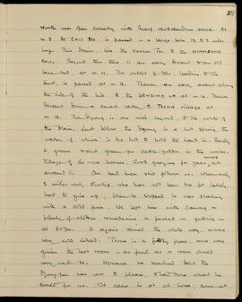
North over open country with dwarf rhododendron scrub. At m 9 the CHIO TSO is passed - a large lake 1 1/2 to 2 miles long. This drains, like the Kachen Tso to the NYAMBANG CHU. Beyond this there is an easy descent to an old lake bed at m 11. The outlet of this, leading to the East, is passed at m 12. Thence an easy ascent along the side of the hill to the DENDING LA at m 14. Thence descent down a small valley to TSONA village at m 16. The Dzong is one mile beyond, to the north of the plain. Just below the Dzong is a hot spring, the water of which is too hot to hold the hand in. Barley is grown cut green for cattle fodder in the winter. Village of 60-100 houses. Good grazing for yaks and sheep all around it.

Our bad luck still follows us. When only 2 miles out, Kurhip, who has not been too fit lately, had to give up. When he stopped he was shaking with a cold fever. We left him with Danong - plenty of clothes and medicine and pushed on, getting in at 5.0 pm. It again rained the whole way, and was very cold indeed. Tsona is a filthy place, and we were given the best room - as foul as a room could very well be. However we realised that the Dzongpen was one to please, and had done what he could for us. Kit came in at odd hours, some at

LSH/1/1/3/3/142 · Part · 1983-05-05
Part of The Ludlow & Sherriff Collection

SUMMARY:
The party plans to leave tomorrow, choosing to go by the Cha La because the Taka La is still deep in snow. On 14 May they note a plan to camp at the foot of the Cha La, with several numerical entries recorded.

CONTENT:
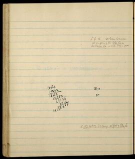
L. p. 86. We leave tomorrow.
We are going by the Cha La as
the Taka La is still deep in snow.

13563 187.0
1.0422
------- 51°
13563
54252
27126
2712

14135.359

L. 87. 14 May. To camp at foot of Cha La

GB 235 SLI-TEMP · Series · 1975

12x 35mm colour slides in a plastic wallet housed with a blue title card that states:
Royal Botanic Garden Edinburgh
Some Views and Plants of the Garden
12 Colour Transparencies (35mm)
Department of Agriculture and Fisheries for Scotland

The slides are titled:

  • Herbarium in Winter
  • Cactus House
  • Herbaceous Border
  • Victoria 'Longwood Hybrid'
  • Rock Garden and Stream
  • Beech tree in Autumn
  • Plant Houses [Palm House]
  • Nomocharis mairei
  • Nymphaea 'Midnight'
  • Pond
  • Rock Garden
  • Gentiana lutea
Department of Agriculture and Fisheries for Scotland
GB 235 RBG · Fonds · 1670 - 2025

• Draft copy of an article titled ‘The New Plant Houses at the Royal Botanic Garden, Edinburgh’ (stored in the ‘R’ box)
• History and development of the garden
• Accounts, 1764-1876 (incomplete)
• Staff Records (incomplete)
• Probationer Gardener records (1889-1935)
• Records relating to education at RBGE
• Photographs
• Maps
• Papers relating to regional gardens – Dawyck, Benmore and Logan
• Plant flowering records (phenology registers)
• Plant records, including inventories, and registers of plants entering and leaving the garden

Royal Botanic Garden Edinburgh (Creator)